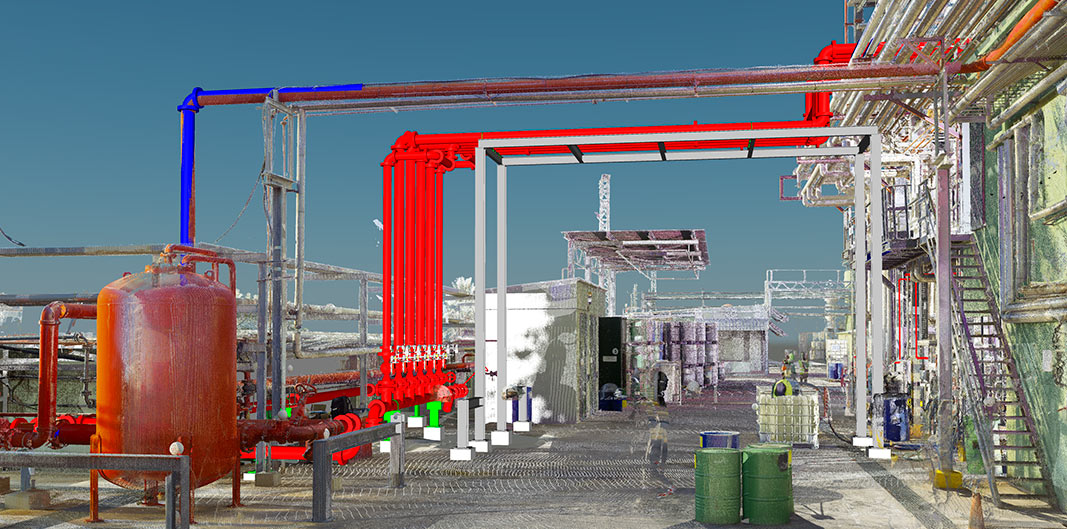
HIGH-DEFINITION TERRESTRIAL LASER SCANNING, 3D POINT CLOUD


HIGH-DEFINITION TERRESTRIAL LASER SCANNING, 3D POINT CLOUD
Prior to performing terrestrial laser scanning, we run the geometric network for reliable support bases. For this we undertake a study of the demarcation and densification of the benchmark network. Using this network of bases, we will ensure the perfect geometric fit between the ‘point cloud’ of new and/or existing installations and the plant construction project. The 3D point cloud provides us with an as-found survey, i.e. the complete geometry of the installation, so that we can design structures and piping routes that avoid any interferences or collisions with existing installations. This makes it possible to reduce costs and times during execution of the project, improve quality and achieve a high degree of detail.


